
File:Canada-census layout.png
Size of this preview: ༧༣༢ × ༦༠༠ pixels. Other resolutions: ༢༩༣ × ༢༤༠ pixels | ༥༨༦ × ༤༨༠ pixels | ༨༥༢ × ༦༩༨ pixels.
ཧུམ་ཆ་གང་། (༨༥༢ × ༦༩༨ པིག་སེལ་ ཡིག་སྣོད་ཀྱི་ཚད་: ༡༥༩ KB མའིམ་དབྱེ་བ་: image/png)

|
This map image could be re-created using vector graphics as an SVG file. This has several advantages; see Commons:Media for cleanup for more information. If an SVG form of this image is available, please upload it and afterwards replace this template with
{{vector version available|new image name}}.
It is recommended to name the SVG file “Canada-census layout.svg”—then the template Vector version available (or Vva) does not need the new image name parameter. |
Summary
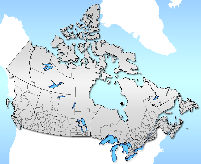
| Description | Census divisions layout of Canada |
| Date | |
| Source | Self (from GIS data, using Photoshop) |
| Author | Qyd |
| Permission (Reusing this file) |
All |
Licensing
| I, the copyright holder of this work, release this work into the public domain. This applies worldwide. In some countries this may not be legally possible; if so: I grant anyone the right to use this work for any purpose, without any conditions, unless such conditions are required by law. |
ཡིག་སྣོད་སྤྱོད་ཤུལ།
ཡིག་སྣོད་འདི་ དེ་བསྒང་སྟོན་དོ་བཟུམ་སྦེ་ བལྟ་ནི་གི་དོན་ལུ་ ཚེས་གྲངས་/ཆུ་ཚོད་གུ་ ཨེབ་གཏང་འབད།
| ཚེས་གྲངས་/ཆུ་ཚོད། | Thumbnail | རྒྱ་ཚད་ | ལག་ལེན་པ། | བསམ་བཀོད། | |
|---|---|---|---|---|---|
| ད་ལྟོ། | ༡༦:༡༥, ༡༤ སྤྱི་ཟླ་གཉིས་པ། ༢༠༠༧ | | ༨༥༢ × ༦༩༨ (༡༥༩ KB) | Qyd | lighter color |
| ༠༥:༤༡, ༢༨ སྤྱི་ཟླ་ལྔ་པ། ༢༠༠༦ |  | ༨༥༢ × ༦༩༨ (༢༡༣ KB) | Qyd | {{Information |Description=Censua area layout of Canada |Source=Self (from GIS data, using Photoshop) |Date=May 2006 |Author=Qyd |Permission=All |other_versions= }} |
འབྲེལ་ལམ།
འོག་གི་ཤོག་ལེབ་ཚུ་ ཡིག་སྣོད་འདི་དང་འབྲེལ་བ་འདུག:
Global file usage
The following other wikis use this file:
- Usage on en.wikipedia.org
- Usage on es.wikipedia.org
- Usage on ik.wikipedia.org
- Usage on www.wikidata.org